


Do you need a financi Read more [...]
Rubi Copper Project – JV opportunity
Project Category: Exploration
-
INTRODUCTION
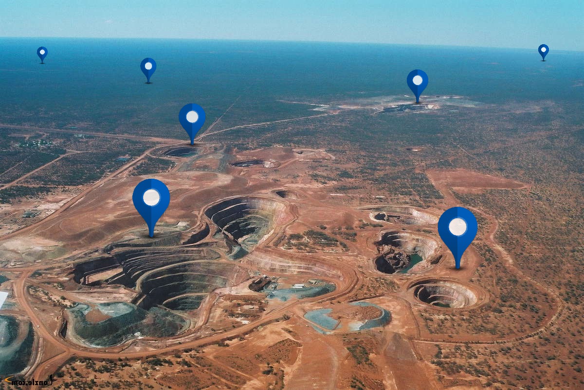
Rubi is a 100% Mirasol Resources (TSX-V) owned, copper-gold property located in central Chile 100 kilometres east of the town of Chañaral (Figure 1 ). Rubi lies 20 kilometres south of the mine and town of El Salvador and 25 kilometres west of the mine and smelter at Potrerillos (both owned by Codelco Chile). The 13,359-hectare mineral property adjoins Codelco to the north. Access is by paved highways from Charñaral to the property and then by good gravel roads. Rubi was identified as part of a regional targeting and field follow-up campaign by Mirasol geologists and was staked in 2006.The world class El Salvador porphyry copper-gold deposit that hosts over 12.2 million tonnes of copper and 3.2 million ounces of gold (production plus reserves) is located 20 kilometres to the north east of the Rubi lithocap.
Mirasol is seeking expressions of interest to JV this property.
GEOLOGY & MINERALIZATION
Rubi Project is located in the Palaeocene to early Eocene age porphyry and epithermal belt of northern Chile that host numerous large porphyry Copper and epithermal gold silver deposits. At Rubi volcanic units are intruded by several phases of Eocene age intrusions with different compositions. Alteration, veining and mineralization styles consistent with porphyry and epithermal mineralization have been noted in outcropping areas throughout the area.EXPLORATION
Mirasol has undertaken rock and stream sediment sampling and geochemical analysis, spectral mapping (by Aster and spectrographic methods PIMA and ASD) and prospecting, and compiled the data into a GIS database. Mirasol has found evidence of previous exploration of the claims including RC drill holes over a minor part of the property, and what appears to be a small geophysical grid. Anomalous copper assays were returned for some of the chips from what is maybe palaeo-regolith at the base of holes. There has been no previous drilling in the majority of targets identified by Mirasol including a principal target in the area of the advanced argillic lithocap.Mirasol’s exploration has lead to the definition of three main target areas called the Lithocap, the Portezuelo Prospect and the Corner Zone (Figure 2). A conspicuous feature of the area are large arcuate fracture systems at El Salvador and Rubi that have been interpreted to be ring fractures produced above the magma chambers responsible for the volcanic and plutonic events.
PROSPECTIVITY / DISCUSSION
The Rubi project displays many of the elements predicted by modern porphyry models. Historic exploration appears to have been piece-meal, probably reflecting fragmented land tenure at the time. Historic drilling has focused on some areas of the gravel cover but appears not to have penetrated the cover in the majority of cases. Most of the outcropping drill targets identified by Mirasol’s exploration team have not been drilled. The extensive gravel cover area in the core of the project may conceal Spence-style porphyry bodies (the BHP Billiton Spence resource contains 310 million tonnes with 1.14% total copper) and has not been extensively explored by previous companies.The most intense area of alteration found to date exists at the Lithocap target. Interpretation of geological, geochemical and spectrographic data suggests that an appropriate model for the hydrothermal system is depicted in Figure 4 below. A comparison between the model and features observed at the Lithocap indicate that the erosional level is still shallow and that drilling beneath the Lithocap is warranted to search for a porphyry copper deposit beneath the cap.
Specific observations in favour of the model are: the presence of strongly anomalous molybdenum values in surface rocks, the presence of hydrothermal breccias with clasts bearing copper mineralization and the strong acid leach alteration, as well as the peripheral precious and base metal mineralization of a more epithermal character. Drilling of the Lithocap is warranted as are two other targets with outcrop through the surrounding gravel-covered areas. None of the three targets have been previously drilled.
-
Total Resource Estimate (M+I+I): N/A
-