Do you need a financi Read more [...]
central Kalimantan Gold Mine TO USD 17 million
Project Category: Exploration
-
A total of 10,020 Ha, IUP OP permits 6,265 Ha (ready to operate mining cultivation), and Exploration IUP status 3,755 Ha (CNC No. 121
MINE STRUCTURE :
GEOGRAPHY / GEOLOGY :
• Warukin Formation (TMW)
• Sintang Breakthrough Rock (Toms)
• Sepauk Tonalite (Kls)
• Air Benakat Formation (Tma)
ALLUVIAL
• Average from 1,000 Ha, Average Alluvial Thickness 10 M²
• Inside the mine area there are several alluvial grades (carats) of gold that varyPRIMARY
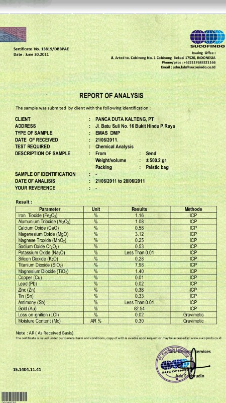
• Average of 1000 Ha with Thickness : 3 M GOLD CONTENT • 26 ppm (gr/ton)
T
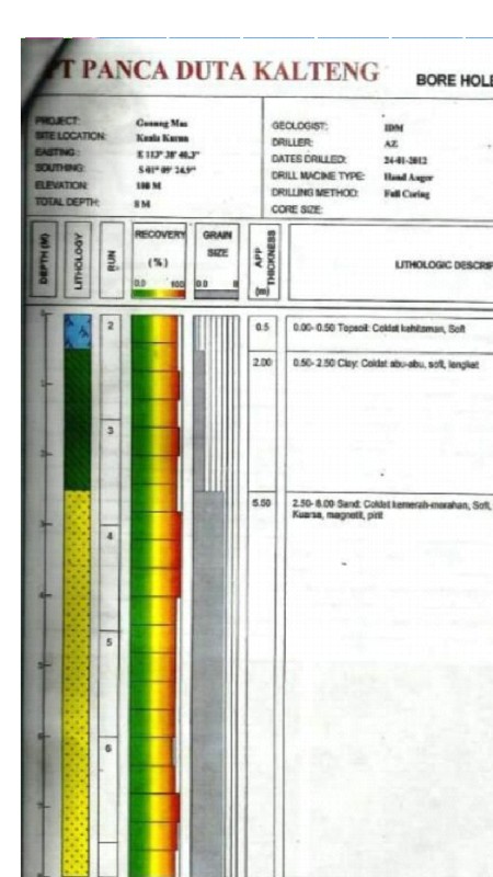
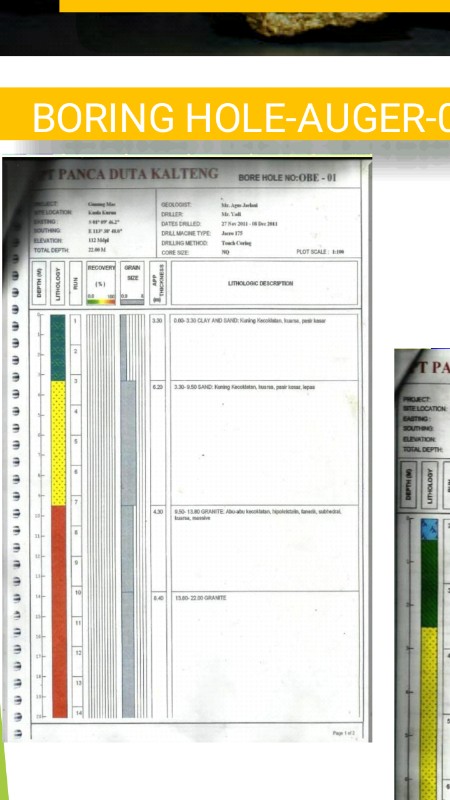
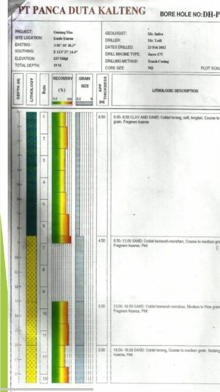
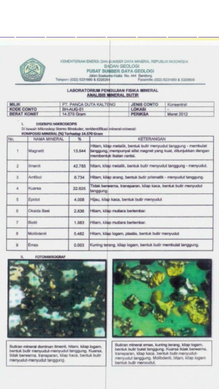
tuhe Alluvial and Primary analysis were found to be 580,000 tons (40% of the 1,450,000 tons deposit) using a manual drill system (Hand Auger), dumping machines and excavator units. Drilling using a Jacro 175 machine drill from the PT. PDK. To get the primary gold content (60% of the 1,450,000 ton deposit) it needs to be further analyzed and re-drilled in detail. -
Total Resource Estimate (M+I+I): 1,450,000 Tonn
-
