


Over 200 Acres Read more [...]
Mt Vetters
Project Category: Exploration
-
The Mt Vetters Project (exploration licence E24/210) and covers an area of approximately 98 km2 and is located 50km north of Kalgoorlie, Western Australia and lies adjacent to multiple nickel and gold mines and in an area prospective for granite hosted gold & ultramafic related nickel.
Mt Vetters is bounded by two greenstone belts, to the west by the Ora Banda Greenstone Belt and to the east by the crustal scale Bardoc Tectonic Zone shear system which is connected along strike to the Boulder– Lefroy Shear Zone which hosts multiple gold deposits including the Kalgoorlie Golden Mile which has produced more than 60 Moz gold.
Mt Vetters is close to several operating gold mines in an area and is well serviced with local infrastructure, an experienced workforce and exploration contractors. Most of the known mineralisation is associated with greenstone belt settings but there are several gold occurrences located along the contact zone of greenstone and granite.
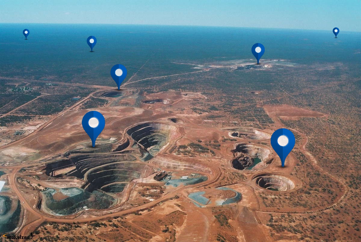
Historical exploration has mainly focussed on nickel mineralisation associated with the Cawse nickel laterite deposit that is hosted within ultramafic lithologies on the western boundary of Mt Vetters.
As the tenement is predominantly covered by varying depths of alluvium, with minor granite sub-crop, historical exploration has been limited to minor campaigns of aircore and RC drilling, with the RC drilling focussing on possible extensions of the Cawse laterite trend along the western edge of the tenement.
Several positive gold anomalies have been intersected in historical drilling with the best result being 7m @ 2.3 g/t Au (from 35m) in hole CWB569 an aircore drillhole within the Cawse monzogranite.
NMR has undertaken LWIR spectral mapping across the tenement where the spectral response plots how strong the signal indicates the presence of a mineral/molecule at the surface. The method is similar to other spectral techniques such as XRF and, with the use of a database of spectral fingerprints for each element, the surface can be mapped according to potential abundance. Red shows positive signal for element being measured (see image in Photos).
The strong positive signal to the west of Mt Vetters is in a region where rocks are mostly outcropping and where deposits are already discovered and being mined. More significantly however is the indication of both Ni and Au on the Mt Vetters tenement. This is significant as the region is under cover and, therefore the signal is generally considered to be diffused relative to adjacent outcrops.
Furthermore, the results support the movement of metal-rich material into the Mt Vetters tenement and anomalous gold appears to be most abundant to the north of the tenement while nickel is more abundant to the south.
Ardea resources are discovered REE mineralisation immediately north of Mt Vetters and NMR has developed a conceptual model for REE (and potentially lithium) metal concentration within the clay minerals in the catchment of the two extremely long-lived erosion and depositional systems, being the Ora Banda Greenstone Belt and Bardoc Tectonic Zone.
Mt Vetters is an evolving gold, nickel and REE target area which has been vastly under explored in the past.
Primary Contact Person: Greg Curnow
Company Name: Native Mineral Resources
Telephone Number: +61 427 665 611 -
Total Resource Estimate (M+I+I): 0
-
-
Key Documents: NMR-Mt-Vetters-Overview-1.pdf