Do you need a financi Read more [...]
Comstock Silver Mine
Project Category: Exploration
-
SUMMARY:
> Over ~$100 million worth of silver and zinc proven in the ground to date from 6 diamond drill holes. Potential to grow mineralisation with further exploration.
Claim acquired in September 2011.
> The claim is 541 hectares and includes 9 adits and >853m tunneling.
> Top 40 largest silver deposit in Canada.
> The vein has been traced for 2100 meters on surface.
> The proven reserve (non-JORC/NI43-101) is 45,355 tonnes @ 1200g/t Ag, 6% Pb, 10% Zn.HISTORICAL PRODUCTION:
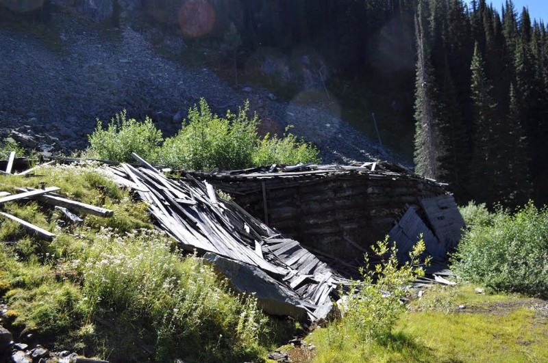
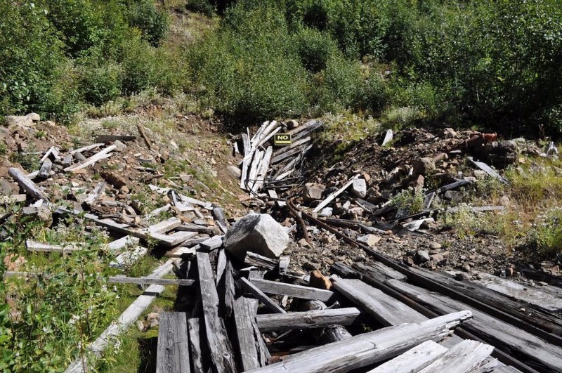
Historical production records indicate 455 tonnes ore mined for 1,687,774 grams Ag, 12,387 grams Au, 218t Pb and 127t Zn recovered. The Comstock mine was developed by nine adits. Stoping was carried out between the second and third levels and between the fifth and seventh levels, for a strike length of 15 metres and 109 metres respectively. The underground workings have explored the mineralized zone over a vertical distance of 121 metres. The earliest recorded work was in 1898 and continued intermittently until 1920. Early workings consisted of nine adits totalling 853 metres length. A mill was erected in 1897 to treat Comstock ore but was only used for two months. No further work was recorded until 1970. Work in 1970 was conducted by R.H. Murphy and partners and included a small shipment of dump material to the Trail smelter. Further work was done in 1972 and 1973. In 1976, H.S. Murphy and R.H. Murphy conducted a geochemical survey, trenching and one 25-metre drillhole. In 1988, Dragoon Resources Ltd. custom smelted ore in a mill in Ainsworth.LOCATION:
The Trout Lake area (082K/11) is in the Lardeau district, in the West Kootenay region of southeastern British Columbia. It straddles the south end of Trout Lake and provides a cross section through the Badshot Range (Duncan Ranges) of the Selkirk Mountains. It also extends across the northern tip of Duncan Lake into the Purcell Mountains.GEOLOGY:
At the Comstock mine, mineralized quartz veins occur predominantly along the contact of a biotite lamprophyre body and quartz monzonite, both of the Nelson intrusions. The quartz monzonite is fine to medium grained, massive and fresh. The biotite lamprophyre is dark grey to black, medium grained with local coarse biotite crystals; magnetite is common. Monzonite blocks occur within the lamprophyre body. Quartz veining and related mineralization is hosted in a brecciated zone 5 centimetres to 2 metres wide, striking 035 to 055 degrees and dipping 35 to 55 degrees southeast. Mineralization consists of galena, sphalerite, minor tetrahedrite and trace pyrargyrite. Gouge is evident on both the hangingwall and footwall of the zone which also contains crushed quartz monzonite and lamprophyre fragments. The zone has been traced over a strike length of approximately 2100 metres between the 1670 and 2040 metre elevations (Assessment Report 17821). -
Total Resource Estimate (M+I+I): Proven reserves (non-JORC/NI43-101): 45,355 tonnes @ 1200g/t Ag, 6% Pb, 10% Zn
-
-
Key Documents: ComStock_Historical_Mine.pdf


