


OVERVIEW: On May 29, Read more [...]
Elandshoogte Gold Mine
Project Category: Development
-
1. BACKGROUND:
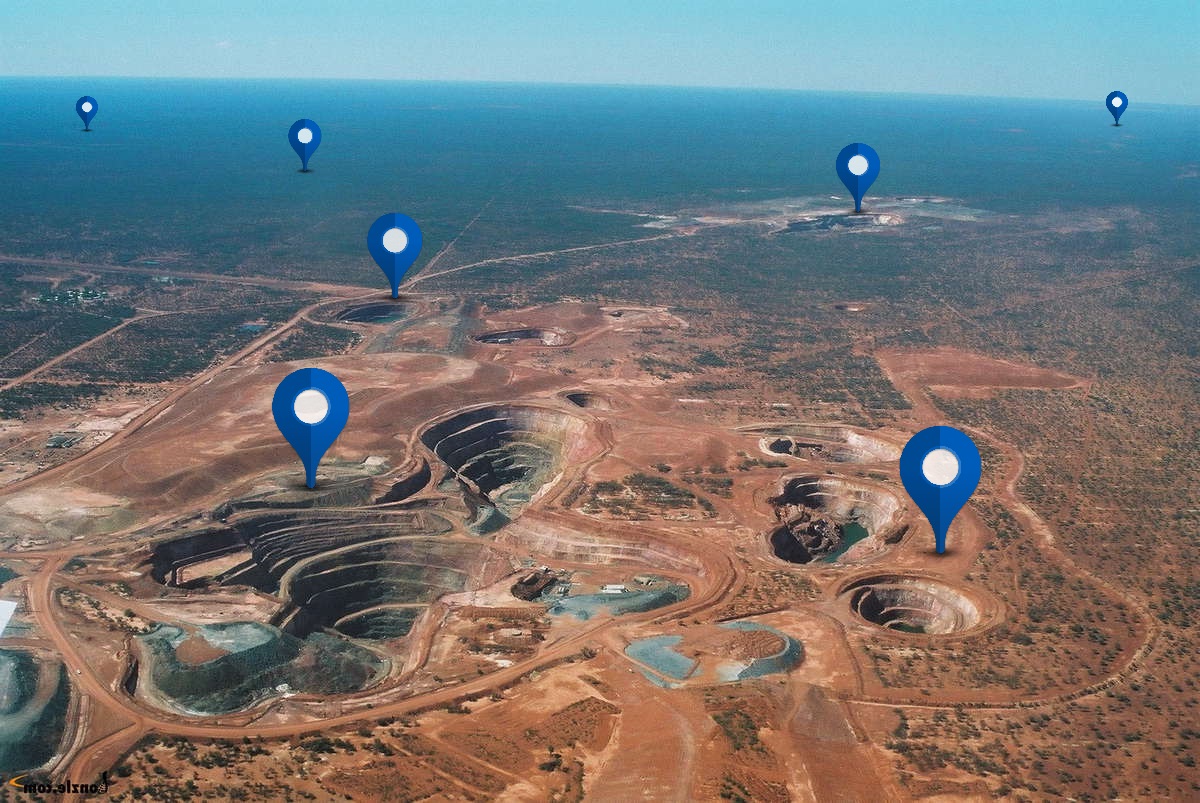
The Elandshoogte Gold Mine is located in Mpumalanga Province, South Africa, in the Nelspruit district in the close proximity of the Sudwala Caves in the Houtbosloop Vallet.The venture was reopened by Transvaal Gold Mining Ltd in September 1987 and ceased underground operations in the late eighties. Centurion Gold Holdings Incorporated acquired the Elandshoogte Mine in June 2003 and reworking of the tailingsdumps was initiated on a limited scale until late 2004.
Omaruru Minerals (Pty) Ltd. A subsidiary of Cengold got a new order Mining License and operated during 2003-2004.
2. WATER RIGHTS:
An ad infinitum water right was granted and registered in the favour of Cengold in terms of RMT no. 7/245.3. MINERAL RIGHTS & CLAIMS:
owns 1539 precious metal claims under the old order mining right, as as 821 hectares of mineral rights under the old order. A new order mining right was issued based on those over 1736 hectares.4. SURFACE RIGHTS:
Various surface rights (80 units) have been granted to Central Gold and are included in the newly issued mining rights.5. EXPLORATION:
Both Anglo American Prospecting Services and Process & Mining Consultants have conducted exploration efforts in terms of prospecting sampling and drilling respectively. Anglo’s efforts in audit sampling did not reveal economic mineralization (M.Harley,SRK, Sept 1990). Drilling by PMC north of the current slope faces intersected the Elandshoogte Reef with the same properties as that has been mined and thus good potential exist for a continuous orebody as a narrow, stratiform quartz-sulphide-gold vein (M.Harley Sept 1990).
Potential for exploration targets on the mine lease is positive since several reef outcrops exist at various stratigraphic elevations thus simplifying drilling targets. Also known mineralization is known on the other side of the mountain where Elandshoogte is located. This suggests that the vein system may be very extensive.
7. MINERALIZATION AND GRADE DISTRIBUTION:
Gold is associated with pyrite in the brecciated/fractured ~ 30 cm thick quartz veining main body in gangue inclusions. Gold is also predominantly associated with rounded discrete inclusions of pyrite and less common chalcopyrite within the shales of foot or hanging to the main reef (Reinecke 1929). Investigation reveals that pay shoots are related to primary features such as gold grade and reef thickness. NNE dominant narrow trends of enhanced grade exist on the mine (M. Harley Sept 1990).An effort on grade distribution analysis was conducted by M. Mullins, 1994 and based on 4081 sampling data points used for geostatistical modeling. The arithmetic mean for gold on the mine with a good overall coverage was modeled as 10.4 gr/ton over a channel width of 45 cm. Gold concentration appears to be optimal between channel thickness of 30 cm towards 60 cm. Mainly three payshoots trends were defined and confirm the NNE trend direction determined by M. Harley references.
8. GEOLOGY:
The mine workings are divided by an eastern and western section due to the presence of a sub-vertical fault with a ~ 6m effective displacement towards the west. The eastern section was historically been partly mined with ease. Two dykes ~ 50 m wide occur 220 m east and 320 m west of the workings. Exploration development towards the western block was minimal due to capital constraint and indications are that the reef properties to the west seem to be identical to the eastern block.Faulting along and within the reef horizon occurs due to post-reef deformation activities. The presence of these planes above and below the reef enhances separation of waste during mining operation, particularly with resue mining method been applied.
Enquiries only available through original website – project aggregated from https://minelistings.com
-
Total Resource Estimate (M+I+I): 1.5Mt @ 7.3g/t for 350Koz (IND) + 3.2Mt @ 7.3g/t for 750Koz (INF)
-
-
Key Documents: Elandshoogte_Gold_Mine_Report_EGRU226.pdf