


Gold and other Read more [...]
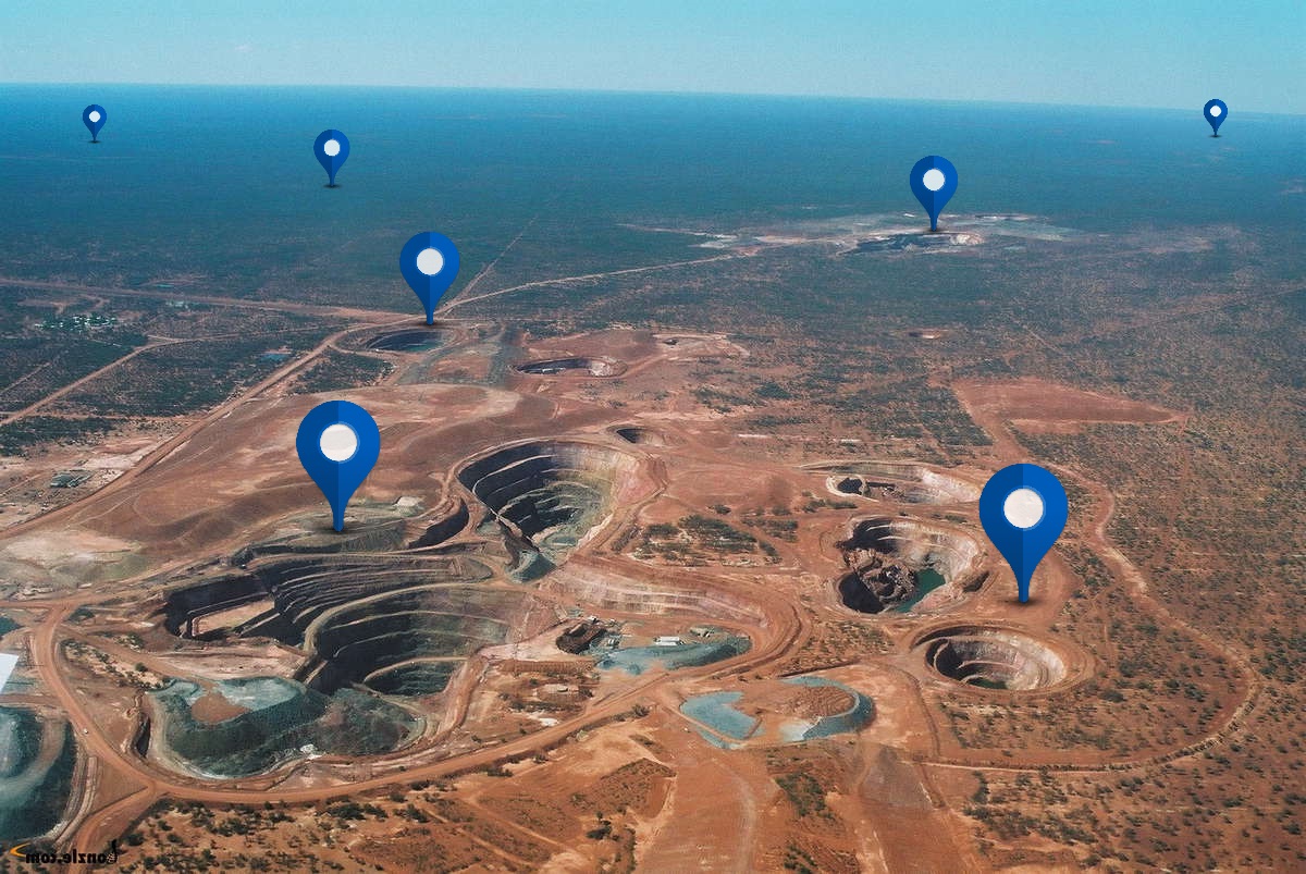
Garnet Gold Mine
Project Category: Production
-
Project consists of 4,100 acres of land consisting of 24 patented mining claims and 188 unpatented claims. Total area in excess of 6.6 square miles, located in Western Montana near the city of Missoula.
Prior to 1941, the property had 7 producing gold mines. The producing mines were shut down pursuant to War Production Board Limitation Order L-208 because gold was not a strategic metal for the World War II effort.
Historic production from placer and underground mining is in excess of 1.5 million oz. of gold.
Making the Garnet Mining District, in which the Garnet Mine is located, the third most productive gold mining district in the state of Montana.
In addition to the funds to be expended for further exploration and underground development to gain access to proven reserves, there was in excess of $12,000,000 expended since 1988 by three previous operators.
-
Total Resource Estimate (M+I+I): 6,680,626Mt@.031g/t Au for 890,500 oz Au
-
-
Key Documents: Behre-Dolbear-Report-4.pdf